DRCOG and City of Brighton finalize Brighton Core City Circulation Plan
The Denver Regional Council of Governments and the City of Brighton have finalized the Brighton Core City Circulation Plan, to improve transportation options and safety along Bridge Street between the South Platte River and 22nd Avenue, and access to Brighton’s downtown historic district. DRCOG led the study in partnership with the City of Brighton through the Community-Based Transportation Planning Program, which supports member jurisdiction efforts to address mobility challenges in historically marginalized communities in the Denver region.
Background
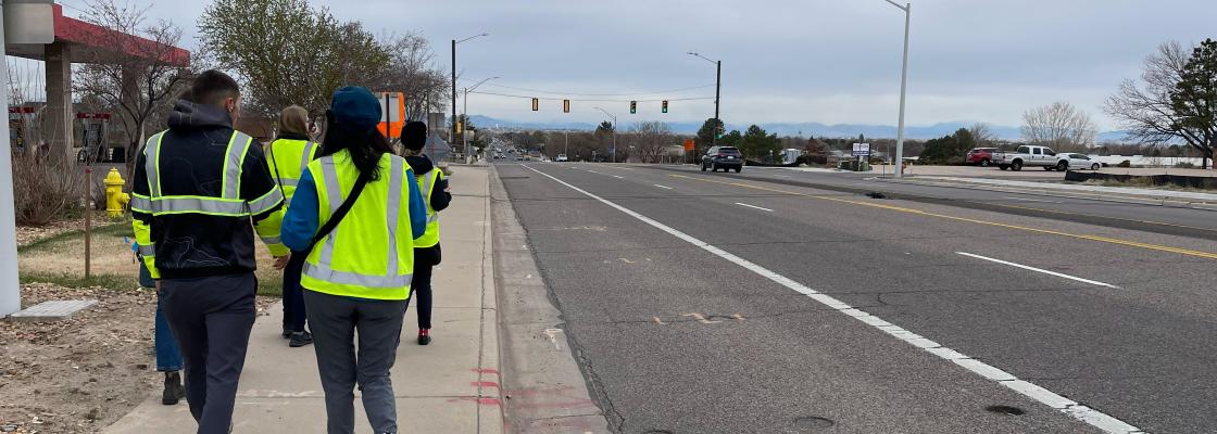
While Bridge Street provides access to downtown Brighton for drivers, it is less welcoming for pedestrians and people rolling, biking and riding the bus. In previous planning processes, residents have cited inconsistent sidewalks along the corridor, a lack of bikeways and uncomfortable crossings. Additionally, Bridge Street faces serious safety concerns. It is part of both Brighton’s and DRCOG’s High Injury Networks, which include corridors with a disproportionate share of serious crashes and fatalities. Between 2019 and 2023, 599 crashes occurred on this stretch of Bridge Street.
About the study
The year-long study evaluated which improvements can be made for all modes of travel along Bridge Street between the South Platte River to the west and 22nd Avenue to the east, as well as the surrounding half-mile study area. The project team received feedback from Brighton community members about this section of Bridge Street, which directly informed the vision and goals for the project, as well as recommendations for the corridor and study area.
The project team developed and evaluated possible designs for each segment of Bridge Street. The recommended alternatives for each segment of Bridge Street are to preserve two travel lanes in each direction. The project team also introduce the idea of a a raised median between turn lanes to reduce potential conflict points and incorporate wider sidewalks and a side path on one or both sides of the street. The plan also proposes to integrate additional hardscaped or landscaped buffers between sidewalks and travel lanes wherever possible. The full plan as well as an executive summary are available on the project website.