DRCOG staff formed the corridor planning program to advance planning for projects and priorities outlined in the 2050 Metro Vision Regional Transportation Plan with the goal of project implementation. As part of the program, DRCOG funds and leads planning studies to advance infrastructure investment priorities along regional arterial corridors identified in the plan.
2024–2027 Transportation Improvement Program Corridor Planning program set-aside
Funding for the corridor planning program is included in a new set-aside in the 2024–2027 Transportation Improvement Program. An estimated $3 million will be available for the full four-year set-aside program with $1.5 million expected to be spent during each two-year cycle. Details about the set-aside program are also included in the 2024-2027 Transportation Improvement Program set-aside polices.
2026-2027 project
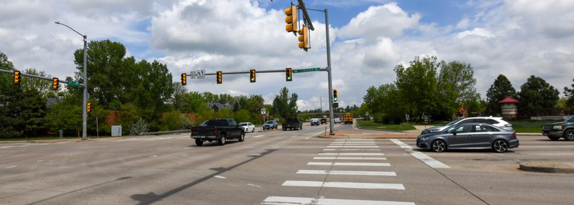
DRCOG conducted a call for letters of interest for the Corridor Planning program for 2026-2027 in spring 2025. In August 2025, the DRCOG Board of Directors approved the selection of the Speer Leetsdale Parker Corridor study for the $1.5 million available. The study will focus on advancing bus rapid transit, also known as BRT, and supporting multimodal improvements along the corridor, as included in the 2050 Regional Transportation Plan.
The project was nominated by Denver with support from the Regional Transportation District, CDOT, the City of Aurora and Arapahoe County through a letter of interest.
Anticipated goals of Speer/Leetsdale/Parker BRT Alternatives Analysis
- Conduct robust stakeholder and public engagement to understand the vision, goals, and needs of communities along the corridor.
- Conduct a robust existing conditions analysis focused on transit and roadway operations, as well as supporting multimodal infrastructure.
- Develop project goals and a draft purpose and needs document.
- Identify a locally preferred alternative for bus rapid transit or priority bus on the Speer/Leetsdale/Parker Corridor from I-25 to downtown Denver.
- Determine key details about the proposed transit service including routing, stop location, and logical termini. This will include assessing whether future transit service should continue to turn at Broadway or extend north to I-25 or Federal Boulevard.
- Identify key supporting safety and multimodal improvements, both by conducting analysis of safety and multimodal infrastructure and by compiling recommendations from previous planning efforts (Parker Corridor Study, Denver Moves Cherry Creek, Go Speer Leetsdale, Alameda Avenue Study and others).
- Conduct preliminary environmental scan.
- Outline next steps to implement the recommendations.
The anticipated timeline for this study
- Fall 2025: DRCOG and project partners develop a scope of work and request for proposals.
- January 2026: Anticipated posting of the request for proposals for consultant services. Pre-bid meeting anticipated two weeks after posting.
- March through April 2026: Consultant selection.
- Spring 2026: Approval of selected consultant and contract negotiations.
- Summer 2026: Target study kick off (likely 18 months).
Acknowledgments
The above timeline and scope are subject to change based on project needs. This announcement is released in order to advertise the upcoming competitive bid for services and lay out general project deliverables.
DRCOG's competitive bids are posted to BidNet Direct. Registration with BidNet Direct is required to participate in the bid process. Registration is free. Please visit Bidnetdirect.com to register your organization and to view updates related to this project.
2024-2025 projects
DRCOG conducted a selection process in summer 2023 to identify projects for the first two years of funding, 2024-2025.
DRCOG Board of Directors in October 2023 approved the following projects:
- Colfax BRT Next: A study of alternatives to extend the bus rapid transit on Colfax Avenue from I-25 to E-470.
- Sheridan Corridor Safety Study: A safety focused corridor plan to address serious and fatal crashes along Sheridan Boulevard between I-76 and U.S.-285.
Pilot corridor planning program
DRCOG staff launched the corridor program as a pilot in fiscal year 2022 to 2023. Alameda Avenue and South Boulder Road were selected as the program's first two corridors.
- Alameda Avenue corridor study engagement site.
- Alameda Avenue final corridor study report.
- South Boulder Road corridor study engagement site.
- South Boulder Road final corridor study report.
Regional corridor studies web map
DRCOG staff maintain a web map to track ongoing planning efforts for the regional roadway system led by regional partners, including local and county jurisdictions. The map is intended to help regional partners, local jurisdictions, DRCOG staff and the public understand what planning work is occurring regionally and how to find more information on studies in the area.
The regional corridor planning web map shows the range of planning studies underway across the region, including bicycle and pedestrian studies, transit studies, corridor studies and environmental studies (National Environmental Policy Act and Planning and Environmental linkages). The web map's primary focus is corridor studies on the Regional Roadway System – transit service, arterial roads, state highways and the federal highway system. The web maps also share key information related to each study's status, whether it's funded through the Transportation Improvement Program, and links to study websites for additional information.
DRCOG staff will regularly update the regional corridor planning web map. Contact DRCOG for updates related to transportation studies not reflected on the map.
Contact
Nora Kern
Subarea and project planning program manager