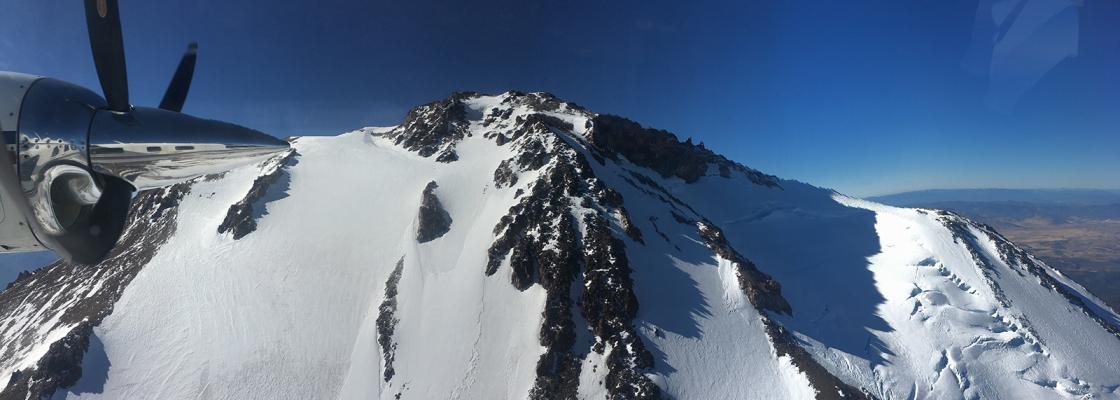
Photo courtesy of Sanborn Geospatial.
The Denver Regional Council of Governments facilitates Regional Data Projects for the benefit of local and regional partners, including cities, towns and counties. DRCOG's Regional Data Projects pass cost savings along to partners, increase collaboration in the region and reduce duplication of effort.
For more information on data acquisition projects, contact Josh Pendleton, GIS specialist, 303-480-6784.
Denver Regional Aerial Photography Project
Every two years since 2002, the Denver Regional Aerial Photography Project has acquired high-resolution aerial imagery of the Denver region.
Current imagery is available for purchase from Sanborn Geospatial.
Past imagery is available for free download from the Regional Data Catalog.
Regional Planimetric Data Project
The Regional Planimetric Data Project adapts high-resolution imagery captured through the Denver Regional Aerial Photography Project to digitize features of the built environment. The project typically captures nine features, including:
- Building roof print (polygons).
- Edge of pavement (polygons).
- Edge of pavement (lines).
- Parking lot (polygons).
- Sidewalk (polygons).
- Sidewalk (lines).
- Sidewalk ramp (points).
- Trail (lines).
- Driveway (polygons).
Regional Planimetric Data Project timelines immediately follow Denver Regional Aerial Photography Program projects, occurring in odd years.
Past Regional Planimetric Data Project data is available for free download from the Regional Data Catalog.
Regional Lidar Project
DRCOG facilitates the acquisition of light detection and ranging (lidar) data in the Denver region on an as-needed basis on behalf of local and regional partners. Due to the expense of lidar data, state and federal partnerships are typically required to collect data.
In 2020, DRCOG received a Broad Agency Announcement Award from the U.S. Geological Survey to collect lidar data that was made available for public download in 2022.
Lidar products adhere to the U.S. Geological Survey Lidar Base Specification at the time of their creation, which outlines requirements for quality, accuracy and minimum deliverables that produce data that integrates with the existing national dataset. Project requirements can be expanded to include such things as additional deliverables (for example contours, DSMs, RGB fusion), increased quality levels or enhanced classifications if funding is available.
Visit the Governor’s Office of Information Technology’s Colorado Geospatial Portal to download past LAS and DEM files. Contours (1-foot) are downloadable from the Regional Data Catalog.
Regional Land Use Land Cover Project
In 2019, DRCOG participated in a pilot land use land cover endeavor with the Babbitt Center for Land and Water Policy and the Conservation Innovation Center in 2019. During the pilot, 1,000 square miles of the Denver region were classified at 1-meter resolution using high-resolution imagery acquired as part of the 2018 Denver Regional Aerial Photography Project.
In March 2021, DRCOG received a Water Plan Grant from the Colorado Water Conservation Board, as well as contributions from nine local partners, to create a similar deliverable covering the entire 6,000 square mile region and using 2020 imagery. The project was completed in April of 2022.
Interest and funding from local partners will inform the availability of future land cover projects.
