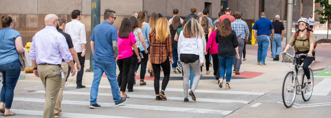
Travelers in the Denver region take nearly 2 million trips by walking or bicycling every day. DRCOG staff and member governments advocate for safe, comfortable and connected bicycle and pedestrian facilities throughout the region as a core component of a reliable and resilient transportation system by:
- Increasing mobility and access for people of all ages, disabilities and capabilities by expanding affordable travel options.
- Decreasing congestion, travel costs, fuel consumption and air pollution.
- Improving safety and reducing crashes by shifting motor vehicle trips to active modes.
- Investing in vibrant communities through more livable streets and public spaces.
Active Transportation Plan
In 2026, DRCOG Board of Directors adopted a major update to the region's Active Transportation Plan, which sets a vision and provides tools, strategies and resources to bolster the walking, bicycling, skating and rolling network.
Safety is paramount
Bicyclists and pedestrians are among the most vulnerable users of the transportation system, consisting of only 2% of all crashes but accounting for 20% of all traffic-related fatalities. Research indicates that planning for and implementing facilities to enhance safety for pedestrians and cyclists also improves safety for drivers. With bicycle and pedestrian trips expected to rise more rapidly than both population growth and vehicle miles traveled, supporting the implementation of safe, comfortable and connected facilities is crucial to support more individuals opting for active transportation.
High-comfort facilities draw more users
Safe, connected and accessible active transportation networks are vital for households without motor vehicles, older adults and people with mobility disabilities. In the Denver metro area, 59% of the population are interested in — but have concerns about — bicycling, underscoring the importance of enhancing the comfort and safety of bicycle facilities to encourage greater adoption of active transportation. Since the current Active Transportation Plan was adopted in 2019, the total mileage of bikeways in the region has grown nearly 26%; separated bicycle lane mileage has quadrupled, and high-comfort off-street path mileage has grown 19%.
Browse the plan and its appendices:
Additionally, DRCOG collaborated with its member governments and community partners to create two supplementary resources:
The guide provides design tools and lessons for accessible sidewalks, as well as local and national solutions for overcoming common challenges and barriers, and best practices in performance measurement and program evaluation.
The program guide builds on recent national guidance and local lessons to support jurisdictions in meeting the emerging challenges and needs of bicycling and micromobility, such as designing new modes including scooters and e-bikes, applying DRCOG's Regional Complete Streets Toolkit and maintaining bicycling infrastructure through four seasons.
Bicycle and pedestrian resources
DRCOG staff prepare and maintain valuable resources for bicycle and pedestrian planning, including:
- The current Active Modes Crash Report, analyzing collisions involving pedestrians or cyclists and motor vehicles in the Denver region.
- The Denver Regional Bicycle Map, providing information on the region's bicycle facilities, including on-street routes and lanes, protected bike lanes and off-street trails, along with details on bike-share stations and transit park-and-ride locations to aid riders in route planning.
- The Regional Bicycle and Pedestrian Counts map, displaying data on the volume of bicyclists and pedestrians at various locations throughout the region, available for download.
- The Regional Data Catalog, featuring crash location datasets from 2013 to 2020, including those involving bicycles and pedestrians in the Denver region.
- Every year, DRCOG's Way to Go program organizes and hosts Bike to Work Day in the region on the fourth Wednesday in June, and Winter Bike to Work Day on the second Friday in February.
For more information, please email Aaron Villere.
