
About data, maps and modeling
The Denver Regional Council of Governments produces an array of data, maps and models to support local governments' planning efforts. Visit the Regional Data Catalog for data and maps related to transportation, demographics, housing and employment.
Regional Data Catalog
DRCOG staff manage the Regional Data Catalog as an open data repository. The region's cities, towns, counties and partners use the data to make informed decisions related to mobility, land use and changing demographics.
Maps
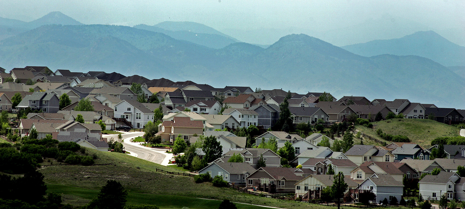
From assisted living facilities to bike paths to zoning, consult maps about aging, transportation and growth and development in the Denver region.
Analysis
Beyond raw maps and data, Denver Regional Council of Governments staff analyze regionally significant findings.
Data
Explore regional demographics such as employment and housing data and transportation topics such as shared micromobility and transit use.
Legislative profiles
DRCOG staff create legislative profiles for each of Colorado’s U.S. congressional districts and Colorado’s state legislative districts using data points from the U.S. Census Bureau's American Community Survey.
Community profiles
DRCOG staff create community profiles for each of its cities, towns and counties using data points from the U.S. Census Bureau's American Community Survey.


Data modeling
DRCOG staff use travel and land use models to predict how residents and visitors will get around the region and anticipate trends in growth and development.

Denver Regional Data Consortium
The Denver Regional Data Consortium is an open, voluntary group of geographic information systems professionals interested in regionally collaborative data initiatives. It meets twice a year and publishes a semiannual newsletter to exchange data, share information and foster new ideas.
Regional data acquisition projects
Through data acquisition projects, DRCOG staff help local governments, and other public entities with shared interests, procure regional datasets. Projects include:
What's New? Denver Regional Aerial Photography Project
Discover the latest imagery available to the public.
