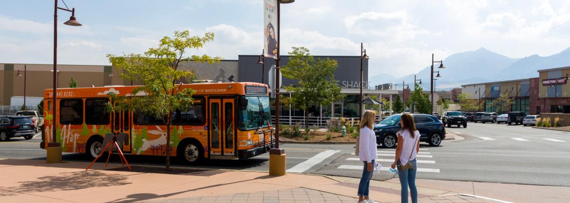
Complete Streets embodies safety, content sensitivity, inclusivity, equity and flexibility. The Complete Streets approach ensures pedestrians, bicyclists, transit riders and other multimodal travelers have equitable access to safe and comfortable streets comparable to motor vehicles.
Approved by the DRCOG Board of Directors in October 2021, the Regional Complete Streets Toolkit guides local governments in planning, designing and implementing Complete Streets. It offers strategies and support to decision-makers, planners and designers in integrating multimodal elements into transportation projects effectively.
The toolkit helps the region's member government staff:
- Facilitate the creation of a safe and comfortable transportation network for all modes and users.
- Advocate for the adoption of current Complete Streets design criteria and guidelines.
- Envision how local governments can adopt and apply Complete Streets policies.
- Develop a multimodal street design typology complementing traditional functional classification systems by identifying design elements catering to all modes of travel.
- Raise awareness and offer guidance on various street design measures available to local jurisdictions, enabling them to plan and engineer safe and comfortable Complete Streets for all users of the regional transportation system.
Story map
DRCOG staff crafted the Complete Streets for the Denver region story map as a companion resource to the toolkit. The interactive map introduces the toolkit, outlines the street typology and provides context for the 10 street types.
Prioritization analysis
The federal Infrastructure Investment and Jobs Act, also known as the Bipartisan Infrastructure Law, mandates the development of a Complete Streets prioritization plan, specifying a list of Complete Streets projects to enhance the safety, mobility or accessibility of streets.
DRCOG staff collaborated with the Toole Design Group to conduct a prioritization analysis. The results, mapped to illustrate locations and segments across the Denver region, identify areas ideal for action and investment to address multiple planning priorities, including safety, accessibility and mobility.
The prioritization analysis serves as another tool for member governments to identify priority project candidates for funding programs like the Transportation Improvement Program and federal grant programs.
Explore the tool by navigating to the “Prioritizing Complete Streets” section of the story map.
