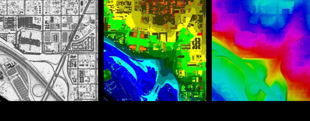
Regional Lidar Project

The Denver Regional Council of Governments facilitates the acquisition of light detection and ranging (lidar) data in the Denver region on an as-needed basis. Lidar projects are completed on behalf of local and regional organizations. Due to the expense of lidar data, state and federal partnerships are typically required to collect data.
DRCOG was a recipient of a FY20 Broad Agency Announcement Award from the U.S. Geological Survey. Lidar collection was completed in 2020 and made available for public download in 2022. If you have any questions about the 2020 project, please reach out to Ashley Summers at asummers@drcog.org or 303-480-6746.
DRCOG lidar products adhere to the U.S. Geological Survey Lidar Base Specification, which outlines requirements for quality, accuracy and minimum deliverables that produce data that integrates with the existing national data set. Project requirements can be expanded to include such things as additional deliverables (for example contours, DSMs, RGB fusion), increased quality levels or enhanced classifications if funding is available.
Visit the Governor’s Office of Information Technology’s website to download past LAS and DEM files. Contours (one foot) can be downloaded from the Regional Data Catalog.
