Regional Land Use Land Cover Project

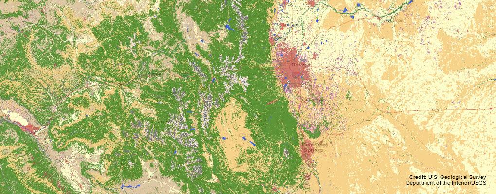
A pilot land use land cover endeavor was undertaken by DRCOG, the Babbitt Center for Land and Water Policy, and the Conservation Innovation Center in 2019. During this pilot, 1,000 square miles of the Denver region were classified at 1-meter resolution using high-resolution imagery acquired as part of the 2018 Denver Regional Aerial Photography Project. In March 2021, DRCOG received a Water Plan Grant from the Colorado Water Conservation Board, as well as contributions from nine local partners, to create a similar deliverable covering the entire 6,000 square mile region and using 2020 imagery. This project was completed in April of 2022.
Future land cover projects will be undertaken when there is enough interest and funding from local partners.
