Bicycle and Pedestrian Planning
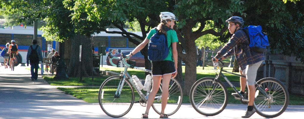
Bicycling and walking are important means of travel for thousands of people in the Denver region each day. That's why DRCOG works to support safety, comfortable and connected bicycle and pedestrian facilities. The benefits of providing bicycle and pedestrian facilities include:
- Enhancing personal mobility options for people of all ages and incomes,
- Reducing motor vehicle travel, travel costs, fuel consumption and air pollution, and
- Improving overall health with increased physical activity
FHWA Bikeway Selection Guide Workshop
DRCOG hosted a FHWA Bikeway Selection Guide workshop in October 2019, where participants learned about facility selection process and techniques. Click here to see the presentation materials from that workshop.
Active Transportation Plan
DRCOG's Board of Directors unanimously adopted the metro area’s first-ever regional active transportation plan in January 2019. Click here to learn more.
DRCOG Bicycle and Pedestrian Products
DRCOG has produced valuable resources for bicycle and pedestrian planning including:
- The regional Active Transportation Plan envisions a safe, comfortable and connected network, and highlights opportunities and implementation strategies to improve active transportation cross the Denver region. Read the executive summary.
- Active Modes Crash Report 2023 analyzes collisions between pedestrians or cyclists and motor vehicles in the Denver region between 2015 and 2021. Information about bicycle and pedestrian crashes from 2013-2015 can be found in the previous Bicycle and Pedestrian Crash Report.
- The Denver Regional Bicycle Map provides information about the region's bicycle facilities. Bicycle facilities consist of on-street bicycle routes and lanes, protected bike lanes and off-street trails. The map also includes additional information about bicycle share stations, also known as B-cycle, and transit park and ride locations in an effort to help riders in route planning.
- The Bicycle and Pedestrian Counts Map shows information about the volume of bicyclists and pedestrians at various locations throughout the region. This information is also available for download. Additional documentation can be found here.
-
The Regional Data Catalog includes datasets with locations of crashes from 2013-2020, including crashes involving bicycles and pedestrians in the Denver region.
Bike to Work Day
Every year, DRCOG's Way to Go coordinates and holds Bike to Work Day in the region on the fourth Wednesday in June. It is the second-largest Bike to Work Day event in the nation.